


One of the first things meteorologists do when they forecast the weather is look at the numerical models — the computer simulations of the atmosphere. There are a handful of these models, and every weather forecaster, every weather app begins with them.
Some of these apps are proprietary in the way they approach their work, but I think it’s well understood that different apps may begin with different numerical models. And even though every one of the numerical models has the same goal, they all work slightly differently because they have different resolutions — meaning, how fine they break up the Earth. Is it going to give you information at a 100-by-100–meter grid or is it going to give you information at 12-by- 12–kilometer grid resolution or something larger? Also, they all ingest different types of data. Some of them actually use different mathematical approaches to solve the key equations of the atmosphere. So by the time you put all these little differences in, you end up with a slightly different forecast coming out of the model.
In the U.S., the National Centers for Environmental Prediction uses several models, two of which are the North American Mesoscale model (NAM; designed for short-term forecasting in North America) and the Global Forecast System (GFS; designed for longer-term global modeling). They both yield the same kinds of information, but because they’re designed for different spatial and time scales, they produce different forecasts. For example, I find that the NAM always produces precipitation forecasts that are overblown, whereas the global model is a little bit more muted in that respect. Some of these forecasts and apps may not even involve humans; they may just gobble up the model output information and deliver it.
Some of these apps take advantage of different inputs of data. Models are initialized with observed data that come from observations all around the world. Data at the surface and aloft are collected, and then these data go into the models, thereby influencing the end forecast. Some of the apps actually have people who look at the forecast and say, “This needs to be modified because it doesn’t look right given what I know about this area.” So you end up with forecasts that are similar, but if you dig in deep, you find that they’re quite a bit different.
Every time the model runs, it uses more updated data. So, the closer you get to a forecast day, the better your forecast gets. You can’t just look at the forecast once a day and ride it. I have become more reliant on these weather apps myself, especially for hourly forecasts, which are probably some of the most unreliable forecasts because of the timescale they’re operating on. You just have to keep up with it.
And, of course, there’s still a lot of uncertainty about the behavior of the atmosphere.
There is also a psychological element: People remember the blown forecasts more than they remember the correct forecasts. When the weather is nice outside, people don’t tend to think much about the weather, but when the weather’s bad, they think about it a lot. There is a belief that weather forecasting is not good. But meteorologists and modelers take a lot of pride in their work, and they want it to be useful. Weather forecasting is important and it’s actually pretty good, except in the times when it’s not good and that’s what everybody remembers. My advice is: Don’t remember the bad.
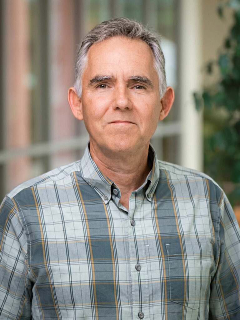
Adam Burnett is the William R. Kenan Jr. Professor of geography. His research and teaching focus on climate-related processes and patterns of variability.