

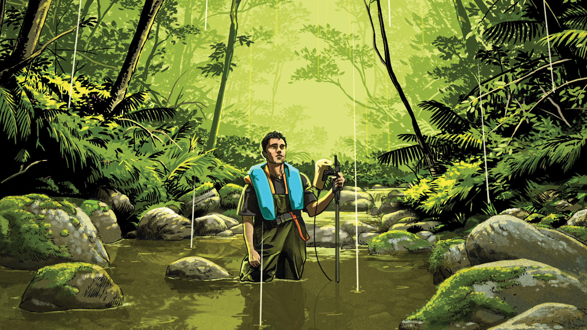
Jack Breitowich ’22 is combining his love of the outdoors with an enthusiasm for geographic data collection to plot sustainable use of natural resources in New Zealand.
The complex geology of New Zealand not only makes the island nation a visual wonder, full of diverse landscapes, but also a country rich in natural resources, like minerals and verdant farmland. As a geospatial specialist with Williamson Water & Land Advisory (WWLA) in Auckland, Jack Breitowich ’22 is helping local industries assess both the impact they might have on the environment and how a changing environment could impact them.
“I consult with clients, like mine owners, land developers, and farmers, to help them utilize their natural resources as sustainably and effectively as possible,” Breitowich explains. “Whether that’s understanding the groundwater in the area or looking at potential land contamination in an area of development, we are an objective, unbiased third party focused on the environment.”
Most of the projects he works on involve gathering Light Detection and Ranging (LiDAR) imagery, a remote sensing method that uses a laser transmitter (like a drone or satellite) to scan a surface and gather measurements from the refracted light. The data collected is then processed and can be used to make high-resolution maps to assess both large-scale issues, like where water might flow based on contours of the land, and smaller-scale problems, like where runoff from roofs containing asbestos might contaminate soil after a heavy rain.
In addition to remote sensing data, Breitowich and his colleagues also use aerial imagery, modeling and analysis software, and on-the-ground measurements, among other tools, to make plans that minimize a client’s impact on the land and water around them, but also to analyze the potential for environmental changes that could impact their businesses in the future. For example, Breitowich recently worked on a project that used gauges to determine the flow rate of the streams running through a proposed mine.
“We were standing in the water and putting those tools in to gain an accurate estimate of how fast the stream was running. And we do that at high flow postrain, during rain, and low flow during a dry period — as many conditions as possible,” says Breitowich.
He notes that field work was one of the things that drew him to his current position. “This mine in particular is right on the coast, so you get these beautiful cliffs and rugged coastline, and it’s very isolated, so you don’t feel like you’re in a big city, you feel like you’re actually out in New Zealand.”
Working in New Zealand — or even in land management — wasn’t always on Breitowich’s radar. In fact, when he arrived at Colgate in 2018, he wasn’t sure what he wanted to study. But a chance encounter during an extracurricular activity helped him find a path forward.
“At the start of my sophomore year, I took a flying lesson at the Hamilton Municipal Airport and the flight instructor asked what classes I enjoyed,” remembers Breitowich, who is now a licensed pilot both in the U.S. and New Zealand. “When I mentioned geography, he told me Professor Peter Scull had just finished up his pilot license, so that afternoon I went straight to his office and started chatting with him. We had a great conversation, and he became my adviser.”
A course in geographic information systems (GIS), taken remotely from Aruba during COVID-19 lockdowns, allowed Breitowich to combine his scuba diving hobby with tracking lionfish populations for a research project, further cementing his interests in geographic studies. And an independent study throughout the spring semester of his junior year took him to Tahiti to use GIS tools to map reefs.
Before moving to yet another island — New Zealand — in 2024, Breitowich earned a master’s degree from the University of Southern California in geospatial intelligence, a field that explores the use of tools like remote sensing to inform disaster management, military operations, and other activities on Earth from space. He hopes he can continue to marry his outside passions with career opportunities that help the planet.
“Working for WWLA has been a great opportunity for me to explore New Zealand and work while doing it,” he says. “I’ve done some really cool jobs gathering data, and learning about the geology and the physical geography of the country has been very interesting.”