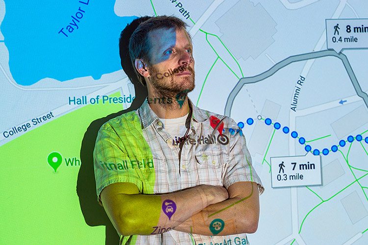
How are smartphones and GPS devices affecting the future of maps?
Ubiquitous connectivity, the Internet, and location-aware smartphones have collectively revolutionized the cartographic process. Whereas the production of maps used to be the domain of government and corporations, individuals now routinely “map” throughout the day as they utilize the many location-based services integrated into their phones. The product of such activity is either a map, even though it may only exist in the ether for a moment or two (or until you get to your destination if you are using your phone for direction), or geographic data that will eventually underpin some sort of map. Either way, you are practicing a new-age form of cartography. By allowing various apps and cellular providers to track you through your smartphone, you are generating geographic data. Have you ever wondered how Google knows when restaurants and stores are busy, or “popular” to use Google jargon? Human mobility is being archived on scales unimaginable only a few years ago, for purposes yet undiscovered, and for motives both transparent and opaque.
One thing is clear: Digital maps are different. What constitutes a map or how we even define the term is changing. For example, because there is essentially no cost to mapping today, you’re as likely to stumble across a map of whether people living in particular places prefer the term “soda” or “pop” as you are to find a road map. It’s safe to assume that there are at least as many maps as there are people who care to map — multiplied, of course, by the number of times they choose to do so.
Another thing that makes ephemeral maps unique, especially those displayed on smartphones, is their perspective. Typically the cartographer or smartphone user is placed at the center of the map, and increasingly the map is shown from the perspective the individual is literally facing. While “north up” might have been an arbitrary designation that did a disservice to those living south of the equator, these new map forms breed egocentricity. Research has shown that their use might actually decrease one’s spatial cognition. We are moving into a world where it’s impossible to get lost (unless your battery dies), but where no one knows where anything is actually located other than from their individual perspective at a moment in time.
Geography professor Peter Scull is interested in using geospatial tools (GIS and remote sensing) to study environmental change. He recently began teaching a class called GIS and Society (GEOG340); the course is designed to contemplate issues of privacy and ethics as they relate to geospatial technologies.
Do you have a big-picture question for a faculty member? Write to us at: magazine@colgate.edu.

