
Colgate Professor Adam Burnett is unraveling the mysteries behind devastating lake effect snowstorms in the northeastern United States.

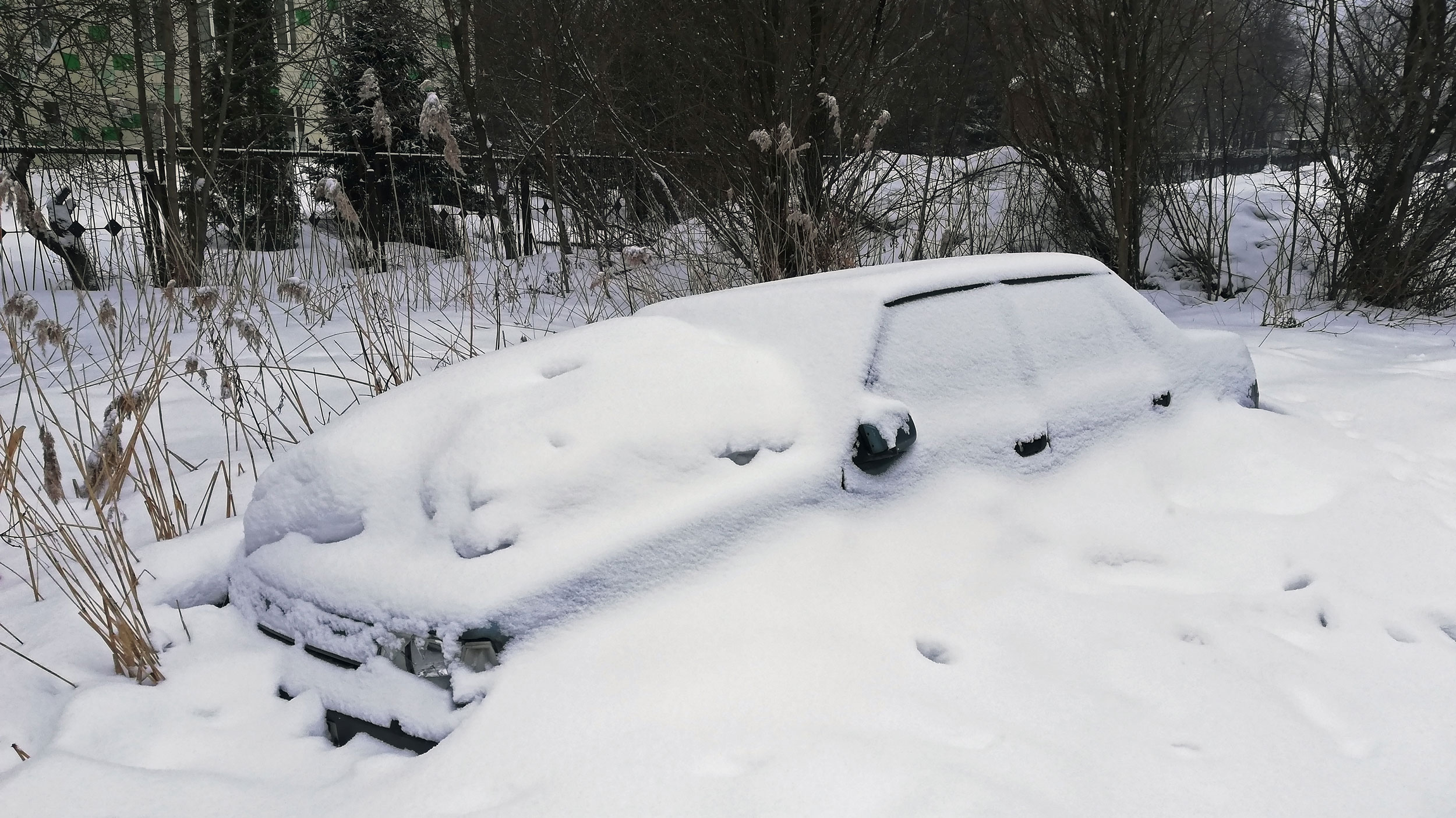
On Dec. 20, 2022, thousands of residents of Buffalo, N.Y., were preparing to celebrate the Christmas holiday when the local National Weather Service station issued an urgent alert about an impending winter storm. The NWS warned that the storm would be accompanied by “very strong winds” and “near zero visibility,” and advised residents to stay off the roads and keep indoors as it rolled through the area over the weekend.
Although Buffalo regularly experiences heavy snowfall, the NWS soon realized that this blizzard would be unlike anything the region had ever seen. By Friday, Buffalo’s mayor had declared a state of emergency as temperatures plunged to 30 degrees below zero, winds gusted to 70 miles per hour, and snowdrifts up to 15′ high trapped residents in their homes and cars. By the time the once-in-a-generation storm subsided nearly 36 hours later — the longest blizzard below 5,000 feet of elevation in the history of the continental United States — 31 people were dead and the city had racked up more than $10 million in emergency recovery and operations costs.
Nearly 1,000 miles away in Nashville, Tenn., Adam Burnett watched the disaster unfold in Buffalo on the TV with a mix of fascination and horror. Burnett is William R. Kenan Jr. Professor of geography and environmental studies, and he’s spent much of his career studying how atmospheric circulation drives weather conditions on Earth’s surface. One of Burnett’s areas of expertise is the lake effect, a weather phenomenon where cold air moving across large and relatively warm bodies of water transfers moisture into the atmosphere and results in increased snowfall.
The lake effect is a well-known phenomenon in the Northeast and is a large contributor to snowy winters in Buffalo, which sits right on the northeast side of Lake Erie. For Burnett, the intensity of the Buffalo storm was surprising, but he had known it was only a matter of time until a massive lake effect–driven storm hit the Northeast. When the storm hit Buffalo, Burnett’s research was largely focused on reconstructing ancient atmospheric conditions, but the cataclysmic event inspired him to return to his work on lake effects. “I really wanted to toss myself into that research again,” Burnett says, and he returned to Colgate as soon as the New York Thruway was cleared of snow. “I think I must have been one of the first cars to go through Buffalo after the event. It was just an amazing amount of snow.”
Lake effect snowstorms are found throughout the world and in recent years they have taken on a special significance for atmospheric and climate scientists. The intensity of lake effect snowstorms is largely influenced by the temperature difference between the air and the lake and a larger difference will result in more cloud formation and snow. As part of his research on ancient atmospheric conditions, Burnett and his collaborators had collected snow records from several areas with known lake effects and compared them to snowfall data in non-lake effect regions. This led him — and many other climate researchers — to suspect that lake effect snowfall was increasing as a result of climate change. But to validate this hypothesis, Burnett needed better snow records.
Contrary to what one might expect, collecting accurate snowfall data is not straightforward. Differences in collection methods can lead to significantly skewed results, but Burnett’s research on ancient atmospheric conditions resulted in him compiling a significant amount of snow data collected by a single individual in Redfield, N.Y., who Burnett says is “very attentive to the collection protocol.” When he analyzed the Redfield records, Burnett found that areas in the Northeast affected by the lake effect were receiving more snowfall than areas that weren’t subject to lake effects, which seemed to validate the theory that a warming planet would lead to more lake effect snowfall.
But as Burnett and other researchers dug deeper into his snow data, they found that the theory about how climate change will impact lake effect storms wasn’t complete. When researchers compared Burnett’s Redfield data to snow records from other lake effect sites, it revealed that snowfall increases had slowed at many sites and in some cases had reversed. The picture that emerged from the data showed that the impact of climate change on lake effect snowfall was more complex than previously understood. Although climate change is in fact raising the temperatures of large lakes, it is simultaneously resulting in a decrease in the frequency of cold air masses that move over these bodies of water and drive the lake effect. This suggested that lake effect snow should actually be expected to decrease in the future.
The caveat is that lake effect regions will experience more volatility in the severity of lake effect snowstorms. The reason, Burnett says, is that large bodies of water retain heat much more effectively than the air. So as global temperatures rise, the temperatures of lakes will steadily rise as well. Although cold air masses may pass over those lakes less frequently, when they do, the lake effect will be much stronger than it would be otherwise. This, says Burnett, accounts for why Buffalo got hit with a once-in-a-generation snowstorm last year — and why these types of storms are probably not going to be a rare event in the future.
In the case of the Buffalo snowstorm, an extreme jet stream — narrow, fast, and strong air currents that circle the globe — carried a large mass of frigid air from Siberia down through Canada, and across the Great Lakes. Jet streams result from the uneven heating of the Earth by the sun, which creates temperature differences that cause atmospheric circulation or, more colloquially, wind.
The polar jet stream that circulates the Arctic is strongest when the temperature differences between the Arctic air and the air flowing north from the equator is large. Under these conditions, the polar jet stream flows in relatively predictable waves flowing from west to east around the pole. But a growing body of evidence suggests that as climate change has reduced this temperature difference, it has caused the jet stream to weaken and become unstable. The result is that the polar jet stream occasionally spills into more southern latitudes, bringing large pockets of cold air with it. If there’s a large body of water in the path of the frigid air mass — such as Lake Erie — this will cause an extreme lake effect snowstorm.
Burnett acknowledges that there are still many unknowns about the future of lake effect snow in the Northeastern U.S. and around the world. The blizzard in Buffalo was a forceful and tragic reminder of the importance of studying this phenomenon to understand how it might evolve in the future. This, says Burnett, will be critical for addressing the second- and third-order effects of increasingly volatile lake effect snowstorms.
“Lake effect snow supports a huge economy of winter recreation in central and upstate New York, and it has a very important impact on the hydrology of the area. It recharges the soil moisture and stream flow, and has a huge effect on agriculture. But now it doesn’t snow as much and so you don’t get that big recharge in spring,” he says. “Lake effect snow obviously has a lot of negative impacts, but people forget that it has a bunch of positive implications as well. Lake effect snow is hugely important for this region.”